Opportunity
Geospatial technologies have come a long way since the days of early cameras being sent aloft on balloons and pigeons to capture imagery used to enhance maps. In the 20th century, the use of airplanes, satellites, and computers led to the development of geographic information systems (GIS) which enabled the layering of maps, imagery, and data sets to combine geographic characteristics with socioeconomic and environmental factors. Geospatial monitoring is a tool used by countries around the globe for infrastructure planning and development.
Advancements in remote sensing platforms have now enabled even greater capabilities with respect to geospatial monitoring. In a joint initiative between Airbus and World Bank, the two companies set out to pilot an innovative geospatial monitoring project called SmartBus.

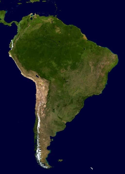
As described in a 2019 press release published by World Bank, “Connected buses will gather and transmit information in real-time about the state of the national road network, as well as enabling communication with areas isolated due to natural disasters. It will also study the use of new technologies to provide internet access in rural areas. The initiative, supported by the Ministry of Transport and Communications of Peru (MTC), will be developed on the Andean road-route between the capital city Lima, on the Pacific Coast, and cities located at the edge of the jungle and low Amazonian jungle.”
Aventior was commissioned by Airbus to support this initiative by developing an application that would overlay data collected through SmartBus with satellite images available through OneAtlas, their satellite imagery platform, and other sources. By combining SmartBus sensory data with existing satellite imagery, users would be able to obtain a real-time view of road conditions for identifying infrastructure development opportunities as well as important safety issues.
“It will only be possible to maintain growth in the coming decade if our countries invest in the development of human resources and scientific capabilities. This pilot project aims to achieve this very goal, connecting people in an extremely difficult geographical region of Peru and helping them to identify problems and possible solutions relating to road safety, meteorology, and transport logistics. By connecting people and their problems with research centers, universities, and leading technology companies, the project is making a tangible contribution to development.” – Alberto Rodríguez, Director of the World Bank for Bolivia, Chile, Ecuador, and Peru.
Aventior’s expertise in geospatial technologies and artificial intelligence made us a leading candidate to deliver this project.
Read the actual press release from Airbus Defense & Space dated January 2019 here.
Approach
Transmitting remote sensory data to the cloud
Multiple factors need to be considered in the design of the platform. Data would need to be collected from remote sensors, it would need to be transmitted to the application, external data sources and images would need to be integrated, and the integrated data and images would need to be visualized in a manner that is easy for users to digest and navigate.
The solution developed by Aventior included the use of MEAN, a JavaScript-based technology stack for building dynamic web applications. MEAN uses JavaScript programming language for both front-end and back-end development and offers increased flexibility both for a single app and enterprise app development. Components include the use of MongoDB, Express.js, Angular, and Node.js.
Google Cloud was chosen as the solution to host the platform, the same infrastructure that Google uses internally for its end-user products, such as Google Search, Gmail, file storage, and YouTube. This would enable the platform to achieve maximum scalability and security.
The platform required a data acquisition component that would be installed on Linux machines located on the SmartBus vehicles themselves. This component would take data collected from various sensors and transmit them to the cloud through a dedicated satellite network.
The application would then integrate both real-time and historical sensor data with satellite images from OneAtlas and open data from various other sources such as the Peruvian Space Agency (CONIDA). A visual interface was incorporated to enable users to overlay various sets of data on top of high-resolution maps to gain important insights pertaining to specific regions of the country.
Using this approach, Aventior had designed, developed, and launched the platform over the course of 6 months.
Impact
Driving infrastructure improvements with geospatial monitoring
SmartBus is an example of how geospatial monitoring techniques using remote sensors and satellite imagery can be packaged together to drive critical insights used by governments to make informed decisions around infrastructure planning and development. Peru’s road network is a critical component of the country’s transport system. According to Oxford Busines Group, Peru has 78,000 km of roads, the majority of which are managed by Provías, a part of the MTC, while 16 highways are operated by private concessionaires under contracts of varying length. IRI or International Roughness Index was introduced in 1986 and has now become the road roughness index most commonly used worldwide for evaluating and managing road systems. IRI can be calculated from profiles obtained with any valid measurement method, ranging from the static rod and level surveying equipment to high-speed inertial profiling systems. IRI measurements could now be obtained much more efficiently thanks to the SmartBus platform.
The SmartBus platform would allow the Ministry of Transport and Communications of Peru to obtain IRI readings in a much more scalable manner, enabling new investments towards infrastructure development projects.
Investments toward infrastructure repair could also be deployed more effectively. SmartBus arms planners with the data needed to prioritize road repairs in a much more precise and efficient manner. Traditional techniques involving physical inspections are both slow and costly.
Using remote sensor data to monitor conditions enables the real-time pinpointing of specific roads and sections in need of repair, saving time and money, and improving public safety.
The platform could also be useful in determining new road expansion opportunities. As economic expansion continues, roads and infrastructure must be capable of supporting the increased traffic.
On top of road conditions, surrounding elements could now be analyzed to determine road expansion opportunities in a much more efficient manner.
Aventior offers geospatial solutions with accurate data mapping and management services, horizontal and vertical integration of Satellite/Aerial Remote Sensing, Positioning Applications, and Satellite Imagery-based Multi-Class Object Detection. Our expertise in geospatial solutions and artificial intelligence techniques have allowed us to engage in innovative solutions that help to build a better future in industries such as oil & gas, utilities, geoportals, smart cities, insurance, logistics, and the agriculture sector.